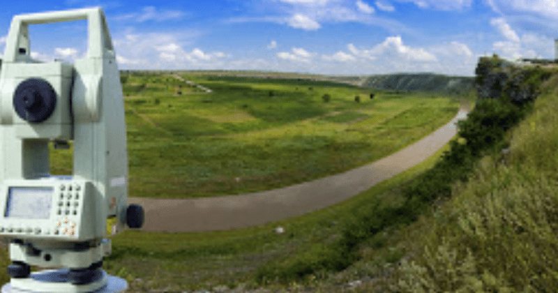
We focus on the capture and survey of 3D data and conventional surveys to produce high quality accurate representations of parts of the earth’s surface and the associated project infrastructure. Detail surveys of sites showing existing infrastructure, elevations, property boundaries and any other features pertinent to the design process. We utilize a combination of unmanned aerial based mapping (drone surveys), conventional ground survey methods.
Digital terrain modelling contours and site plans for As Built surveys. These type of surveys are carried out and normally supplied to Civil Engineers or Hydrological Engineers for them to use in the design of various services like Water reticulation, upgrading of roads, sewer and storm-water infrastructure.
Open pit quarry and mine surveys for end of month volume determination.
Volume Surveys on construction sites: This is done for the purposes of estimating or determining volumes of excavated or imported material for contractors to submit their claims of such materials and earthworks.
Tailings and waste dump survey and volumes.
Aerial Surveys
In this regard drone technology is employed for the purposes of progress monitoring on mines and construction sites, site development plans for Town Planning and Architectural purposes. The aerial images can also be converted to accurate topographical maps using photogrammetric software available to us. This also includes sourcing of satellite mapping for planning and resource prospecting.


